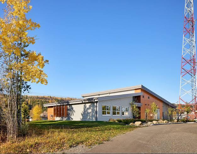
How to Use E-ACRS Data to Support First Nations Asset Management Planning
Every three years, an engineer visits the community, inspects the water plant, the school, the roads, and the band office, and produces a report. For...
Every three years, an engineer visits the community, inspects the water plant, the school, the roads, and the band office, and produces a report. For...
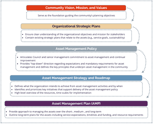
Most First Nations already hold a lot of information about their infrastructure. It sits in inspection reports, housing files, old drawings, funding applications, and the...
Most municipalities didn’t design their GIS. It grew. Planning bought a license, engineering started a sewer layer, roads built a spreadsheet of signs, and later...